

Locks, Mills and Rolling Hills
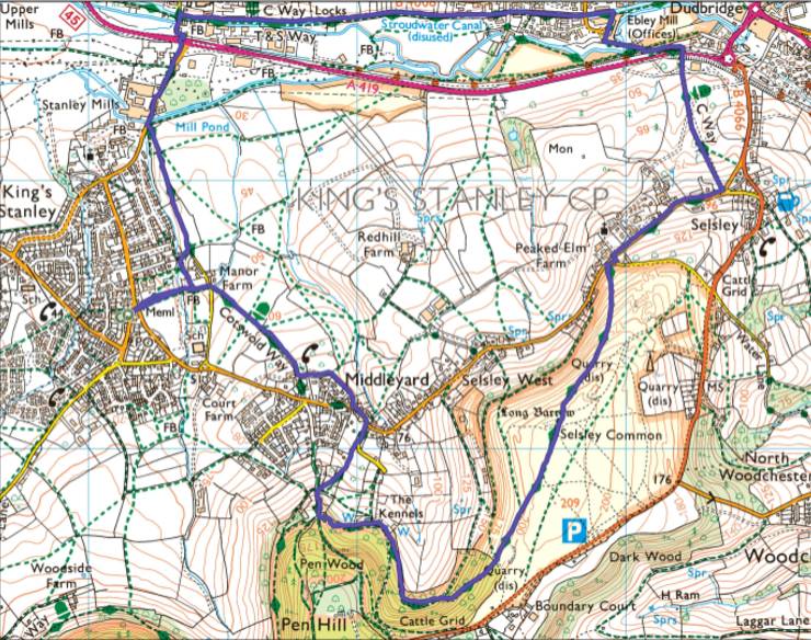
After Storm Chandra, a calm, sunny winter day lured me away from back-breaking mulching of the soggy borders to enjoy one of my favourite circular walks along the Cotswold Way. This 8.45 km route starts and ends in Kings Stanley, climbing 212 m through woodland to Selsley Common, open grassland historically grazed by sheep and closely tied to the Cotswolds’ medieval wool trade. The walk then descends to walk along the Stroudwater Canal and past former mills offering glimpses into Stroud’s industrial past.
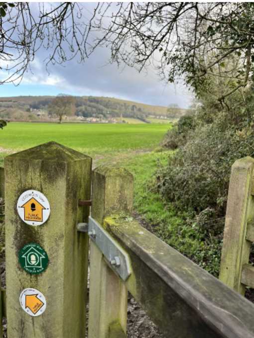
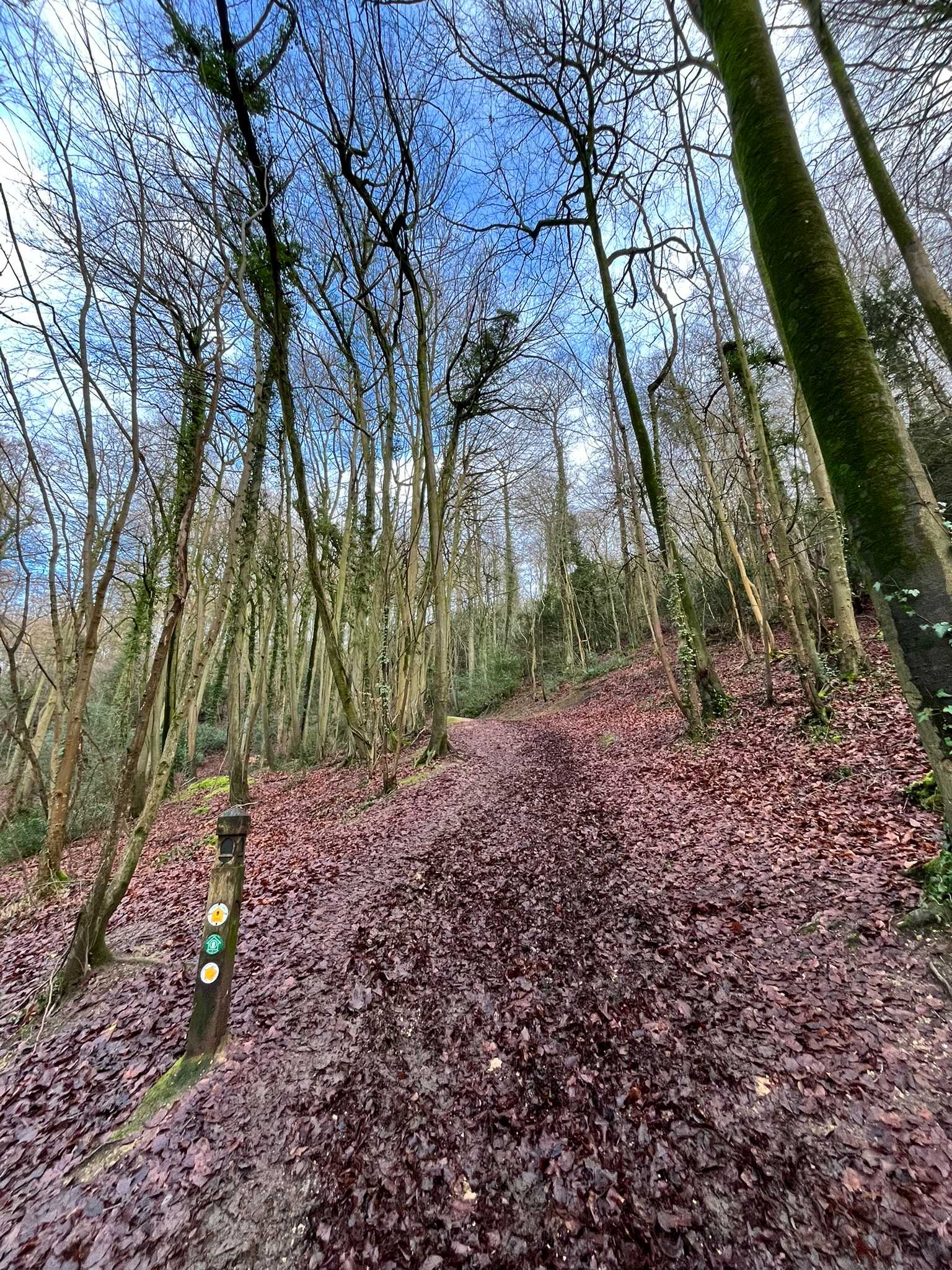
Starting from free parking off the High Street in Kings Stanley, the route crosses the sports field and climbs gradually through muddy farmland to reach Middleyard. The hamlet’s name derives from Old English, meaning “middle enclosure” or “central yard,” likely referring to a farmstead amid grazing land. From here, the path climbs steeply to Pen Wood, following undulating woodland paths before ascending sharply to Selsley Common.
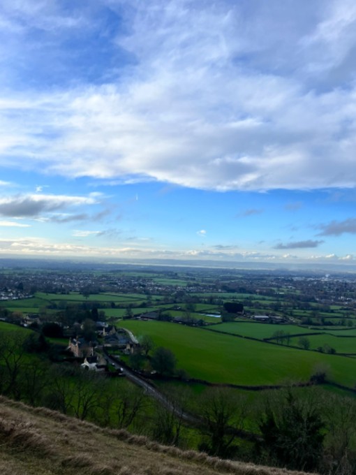
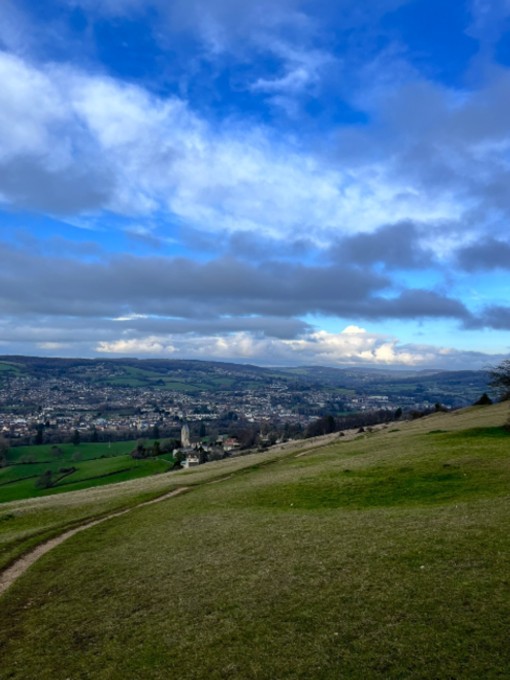
Reaching the top, heart pounding, is a mixture of relief and exhilaration. The far-reaching views reward the effort: to the west, the Severn estuary, with Standish Hill across the valley; in the distant northwest, the Malvern Hills; and, on a clear day, the spire of St Mary’s Church in Painswick to the northeast. Summer brings skylarks, but on this January afternoon all was quiet. Following the Cotswold Way markers leads to a stone-mounted toposcope that marks landmarks in all directions. The descent from the Common leads back to Middleyard, where the unusual spire of All Saints Church dominates the view. Built 1861–62 in French Gothic style by a local mill owner, it is the only British church with glass windows designed by William Morris & Co.

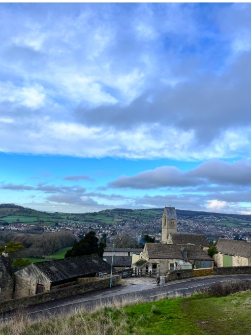

Crossing the A419, the walk reaches Ebley Mill, a fulling mill on the River Frome that later became a prominent woollen cloth mill. Described by Historic England as “perhaps the finest example of a stone-built mill in the country,” it underwent a costly conservation project in the late 1980s, sparking public debate.
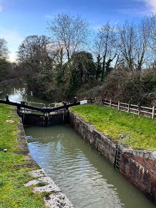
The towpath of the disused Stroudwater Canal follows next. Before construction of the Canal between 1775 and 1779, the plan was to make the River Frome navigable to enable manufactured goods to be transported to the River Severn on barges, rather than overland by packhorse or wagon. However, the mill owners objected as they relied upon the fast water of the River Frome to turn their water wheels, changing wool (originally from Cotswold sheep) into fine cloth. The 8-mile waterway, rising 109 ft through 13 locks, connected Stroud’s woollen manufacturers to the River Severn and later brought in coal. With railways arriving in 1845 however, traffic dwindled, leaving the Canal semi-derelict by the 1940s.
Notable canal landmarks include Oils Mill Bridge, near a historic oil mill that later became a fulling and corn mill, and Ryeford Double Lock, a rare 1779 double-chamber lock now restored and operational. The adjacent Double Locks Cottage (1784) housed the lock keeper.
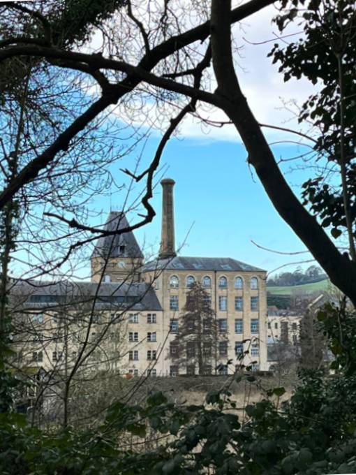
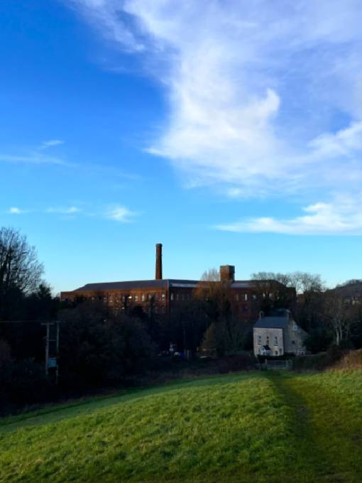
Leaving the canal at Ryeford Bridge, the walk crosses the A419, passing Stanley Mill, a Grade I listed early-19th-century woollen mill powered by waterwheels and later steam, supplied by coal via the canal.
The route returns to Kings Stanley along a grassy (usually muddy!) slope. Post-walk refreshments can be enjoyed at the recently refurbished Village Inn before heading back to the car park.
28th January 2026